Entry No. 174 — the Denver file — filed under: outdoor
Chief Mountain Trail
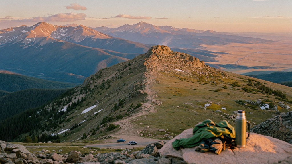
Most people barreling up I-70 toward the famous 14ers drive right past this one — and that's the gift. Chief Mountain is short, steep, and absurdly generous: under three miles round trip from a roadside pull-out to an 11,700-foot summit that hands you a genuine 360-degree payoff. You climb fast through pine and into open alpine tundra, then top out on a rocky crown with Rocky Mountain National Park to the north, the Grays and Torreys 14ers and Mount Blue Sky close enough to read, Pikes Peak to the south, and the Denver plains spilling east. Big-mountain views, fraction of the effort, none of the trailhead circus.
→ Three more weird outdoor & roadside oddities in Denver — never the same twice
The story
While half of Denver spends Friday evening sitting in bumper-to-bumper I-70 gridlock chasing 14er clout, you turn off at Exit 252 onto CO-74 and climb Squaw Pass Road into Arapaho National Forest. Mile marker 18 hides one of Clear Creek County’s quietest high-altitude loopholes: Chief Mountain Trail. Starting above 10,000 feet, this short out-and-back gets you into open alpine tundra in under a mile and a half—delivering the kind of sprawling, above-treeline views usually reserved for an all-day, knee-busting slog, but with a fraction of the distance.
The trail climbs roughly 1,000 vertical feet through dense spruce and fir before breaking straight out onto an unshielded rocky crown sitting at 11,709 feet. From the summit, you get an uninterrupted 360-degree panorama: Rocky Mountain National Park to the north, Pikes Peak to the south, Grays and Torreys and Mount Blue Sky close enough to pick out ridgelines, and the Denver plains spilling into the eastern horizon. Because you hit high elevation almost immediately without burning through six hours of hiking, it offers the ultimate view-to-effort ratio along the Front Range.
What it's like
Expect an unassuming dirt pull-out along Squaw Pass Road right past mile marker 18—if you aren't paying attention, you'll drive right past it. Crossing the road to the trailhead, you'll immediately start climbing a sequence of steep, steady switchbacks under thick pine cover. It’s short (under three miles round trip), but starting above 10,000 feet means you’ll feel the thin air right out of the gate. Expect the shade of the forest to yield abruptly to windy, sun-exposed tundra, culminating in a light rock scramble up to the summit rock outcrop. Pack microspikes if you're hiking in shoulder season when shaded forest pockets hold packed ice, bring a wind layer for the top gusts, and pull into the lot before 8:00 AM on summer weekends before the handful of roadside spots fill up.
The move: Make the climb itself the date: pack a thermos and two layers, start early while the air is cold and the parking pull-out is still half-empty, and trade the effort of the steep middle stretch for the reward at the top. Summit together, find a flat rock out of the wind, and spend a while naming the peaks on the horizon — there are a lot of them. It's the rare hike where you can be back at the car before the afternoon clouds build, with the whole rest of the day still ahead of you.
📍 Before you go A short out-and-back of roughly 2.8-3.0 miles round trip with about 1,000 feet of climbing — moderate, mostly because the grade is steep and you start above 10,000 feet. The summit sits near 11,709 ft. Getting there: from Denver take I-70 west to Exit 252 (CO-74/Evergreen Parkway), go south ~2 miles, turn right onto Squaw Pass Road (CO-103), and follow it up the switchbacks ~10.4 miles to a small pull-out just past mile marker 18; the lot is tiny and fills on weekends. Best hiked summer through early fall when it's snow-free. The upper trail is fully above treeline — afternoon thunderstorms are common and serious here, so start early and aim to be off the summit by midday to avoid lightning. At ~11,700 ft, expect thinner air; pace yourself and bring water, wind layers, and sun protection. Squaw Pass Road climbs high and can be snowpacked, icy, or closed off-season, so check road and weather conditions before driving up. It's on Arapaho National Forest land and generally free with no permit, though parking policies can change — and stay on the established trail, as the alpine tundra takes decades to recover from a footprint.
- 📍 Idaho Springs / Squaw Pass Road (CO-103), Arapaho National Forest
- 💸 Free
- ⚡ Up for anything
- 🌗 Outdoors
Where: Chief Mountain Trailhead, a small pull-out on Squaw Pass Road (CO-103) just past mile marker 18, roughly across from the Echo Mountain area. From Denver: I-70 west to Exit 252 (CO-74/Evergreen Parkway), south on CO-74 about 2 miles, right onto Squaw Pass Road, then ~10.4 miles up the switchbacks to the small lot.
Hours: Day-use, free. Best season: Summer through early fall (snow-free; July-September best). Confirm trail & road conditions before you go.
⚠ Seasonal or scheduled — always check before you go.
Pair it with
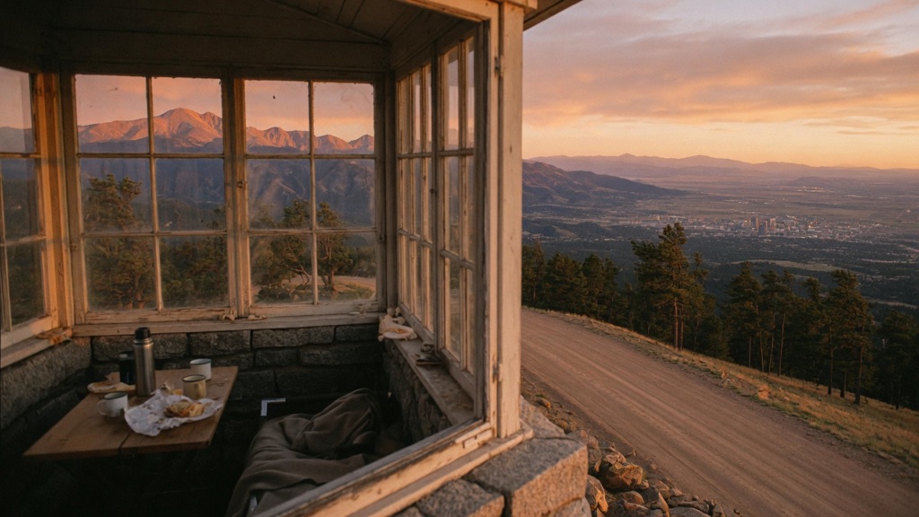
- Mestaa'ehehe Mountain Fire Lookout — Located less than a mile down Squaw Pass Road, this historic 1940s CCC-built stone lookout cab offers another high-elevation view over Clear Creek County without adding much drive time.
- Indian Hot Springs Geothermal Caves — Just down the mountain in Idaho Springs, these geothermal mineral caves carved into the rock offer a 108–120°F soak to soothe your legs after climbing to 11,700 feet.
- Edgar Experimental Mine — Head four miles into Idaho Springs to swap the wide-open alpine summit views for a tour inside Colorado School of Mines' real underground working research mine.
- Charlie Tayler Water Wheel — Down along Interstate 70 in Idaho Springs, this historic 30-foot wooden waterwheel built in 1893 makes for a quick roadside history stop on your drive back down toward Denver.
More weird in Denver
Good to know
How long is the Chief Mountain Trail and how steep is it?
It is an out-and-back trail roughly 2.8 to 3.0 miles round trip with about 1,000 feet of elevation gain. It is rated moderate, primarily because the trail climbs steeply and starts above 10,000 feet.
Where do I park and do I need a permit?
Park at a small pull-out on Squaw Pass Road (CO-103) just past mile marker 18, roughly across from the Echo Mountain area. The trail is on Arapaho National Forest land, free to access, and requires no permit or advance reservation.
When is the best time of year and day to hike?
Summer through early fall (July to September) offers the best snow-free conditions. Because the upper trail is fully exposed above treeline, start early in the morning and aim to be off the summit by midday to avoid sudden mountain thunderstorms and lightning.
Are dogs allowed on the trail?
Yes, dogs are allowed on leash in Arapaho National Forest. Hikers must keep pets and themselves on the established trail, as off-trail footprints can destroy fragile alpine tundra that takes decades to recover.
Plan a visit & invite your people →
Further reading: hikingproject.com · trails.colorado.gov · dayhikesneardenver.com · thenextsummit.org · handstandsaroundtheworld.blog · kunc.org
last checked: 2026-06-10