Entry No. 89 — the Durango file — filed under: ghost-town
Graysill Mine
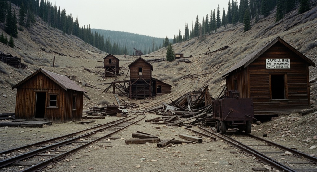
Established in 1945 during the post-WWII atomic rush, Graysill Mine was a high-altitude vanadium and uranium operation that once supported hundreds of claims. Active until 1963, the remote site was notorious for its harsh winter conditions and the invisible threat of radioactive radon gas. Today, a few weathered wooden cabins, collapsed structures, and rusted track remnants linger in the San Juan National Forest.
→ Three more abandoned & forgotten places in Durango — never the same twice
The story
Fourteen miles up Forest Service Road 578 from Purgatory, perched at 10,879 feet in the San Juan National Forest, sits a quietly radioactive artifact of America's early Cold War arms race. Established in 1945 as the post-WWII atomic rush took off, Graysill Mine wasn't a standard gold or silver camp. It was a high-altitude industrial engine built to feed the government's sudden, insatiable demand for vanadium and yellowcake uranium.
Life at Graysill was exceptionally grim. Miners weathered brutally long winters in snowbound log shacks, spending their shifts underground inhaling radon gas that nobody was measuring yet. Before the operation shuttered in 1963, the Graysill No. 2 mine alone produced more than 31,000 tons of ore. If you look closely in the brush near the site, you can still spot anomalous relics left behind by the boom, including an 1890s Primos tank car body dragged up the mountain decades ago to hold industrial fluids.
What it's like
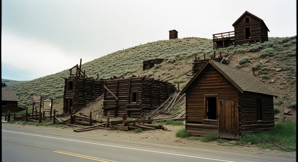
Navigating FR 578 requires a real high-clearance 4WD vehicle (or a mountain bike, as it sits along the Durango-to-Telluride hut route). At the site, you'll find a handful of silvered, collapsing wooden cabins, decaying timber frames, and fragments of iron track melting back into the dirt. An official historical marker sits by the road, which is where you should stay—the mine adits are unsealed hazards, the cabin floors are ready to give way, and stirring up old tailing dust is best avoided.
The move: Rent a 4WD vehicle in Durango to navigate the rugged Forest Service Road 578, then enjoy a scenic mountain hike to photograph the decaying wooden cabins and read the historical marker from a safe distance.
📍 Before you go Located on public San Juan National Forest land, the site features a historical marker and can be viewed safely from Forest Service Road 578, but the decaying structures are unstable and the old mine shafts present severe hazards.
- 📍 Graysill Mine
- 💸 Free
- ⚡ Low-key
- 🌗 Outdoors
Where: Graysill Mine, Colorado 81301, USA
Hours: Added 2026-07-20 — confirm current access before you go.
Pair it with
- Rico Mine Shaft Inn — After exploring Graysill's atomic-era ruins, head over the pass to Rico to stay at a former mining lodge with its own local ghost lore.
- San Bernardo Mine — Compare Graysill's Cold War uranium operation with San Bernardo, an older 1880s gold and silver site sitting on the nearby slopes.
- Ophir Town & Post Office — Follow the high-country trail networks toward Ophir, another narrow mountain settlement shaped by harsh winter survival and mining history.
More weird in Durango
Good to know
How do I get to Graysill Mine?
Drive north from Durango past Purgatory Ski Resort and turn onto Forest Service Road 578 (Hermosa Park Road). Follow it roughly 14 miles into the San Juan National Forest; high clearance and 4WD are required.
Is it safe to explore the cabins and shafts?
No. You can view the site safely from the road, but entering the rotten wooden structures or approaching old mine shafts presents severe structural and fall hazards, alongside lingering radon risks.
What was mined at Graysill?
The site was operated from 1945 to 1963 primarily for uranium ore and vanadium, crucial materials for mid-century atomic weapons development.
Plan a visit & invite your people →
Further reading: uncovercolorado.com · ghosttowns.com · westernmininghistory.com · coloradogeologicalsurvey.org · drhs315.org · spokeandblossom.com
last checked: 2026-07-20