Entry No. 53 — the Durango file — filed under: geyser
Geyser Spring Trail
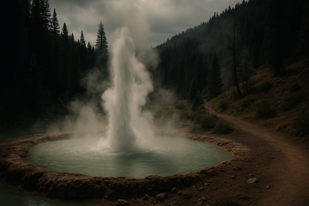
Colorado's only active geyser sits at the end of a 1.5-mile hike through San Juan National Forest, erupting every 30-40 minutes into a milky turquoise pool — and the carbon dioxide and hydrogen sulfide venting from the ground means you can't actually get close to it, which is somehow the most honest thing about the place. The trail runs between the small town of Dolores and the ghost-town of Dunton, putting you in the company of hot-spring remnants and old mining-era weirdness the whole way. Watch the pool burp and hiss from a respectful distance while the sulfur smell does the rest of the atmosphere work.
→ Three more abandoned & forgotten places in Durango — never the same twice
The story
Colorado has plenty of hot mineral soaks, but it only has one active geyser. Tucked into San Juan National Forest along Forest Road 535—sitting roughly midway between Dolores and the ghost town of Dunton—Geyser Spring Trail (Trail 648) leads you 1.5 miles up to a murky turquoise pool fed by subterranean plumbing.
Don't expect an Old Faithful-style water column shooting hundreds of feet up. This is a low-pressure, carbonated burp powered by subterranean gas buildup. Every 30 to 40 minutes, the surface of the pool begins to churn, sloshing and bubbling as carbon dioxide and hydrogen sulfide vent from the earth.
The real quirk of the place is the atmosphere—literally. Because heavy CO2 and rotten-egg-scented hydrogen sulfide settle in the natural depression surrounding the spring, there are no handrails or neat viewing platforms. You trek all the way out into the San Juans to see a rare geological anomaly, only to stand ten feet back so the gas emissions don't knock you flat.
What it's like
The trail is roughly 1.5 miles one-way (about 3 miles round-trip) with a steady, moderate elevation gain over wooden footbridges and forested mountain terrain. You will smell the spring before you see it, as the sharp scent of hydrogen sulfide hits the air near the end of the hike. Time your arrival at the pool to sit through at least one 30-to-40-minute eruption cycle, bring a high-clearance vehicle for the rutted surface of Forest Road 535, and give the pool edge a wide berth.
The move: Drive out from Durango on a weekday morning, time your arrival to catch at least one full eruption cycle, and pack lunch to eat at the trailhead before the ghost-town of Dunton tempts you into a detour.
📍 Before you go Trailhead accessed via Forest Road 535 off CO-145 near Dolores; high-clearance vehicle recommended on the forest road. The trail is roughly 1.5 miles one-way with moderate elevation gain. No barriers at the spring itself — stay back from the pool edge due to toxic gas emissions. Snow can close the access road from late fall through spring.
- 📍 Dolores
- 💸 Free
- ⚡ Up for anything
- 🌗 Outdoors
Hours: Added 2026-06-21 — confirm current hours before you go.
⚠ Seasonal or scheduled — always check before you go.
Pair it with
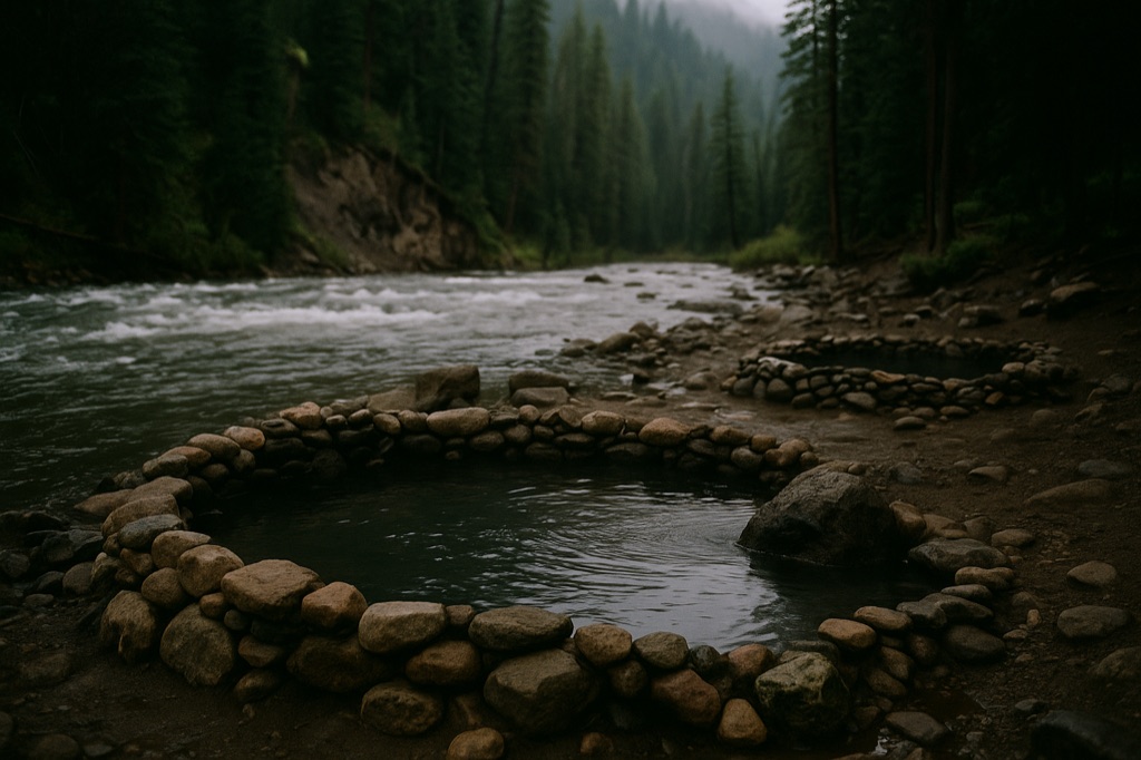
- Dunton Hot Springs — Drive two miles past the trailhead on Forest Road 535 to trade the toxic, un-soakable geyser pool for mineral hot springs at a restored 1885 ghost town.
- Rico Mine Shaft Inn — Head seven miles down CO-145 to Rico for a drink or stay in a historic mining-era lodge with a lingering resident ghost.
- Graysill Mine — Pair subterranean gas vents with high-altitude atomic history at this 1945 uranium and vanadium mine site further up in the San Juans.
More weird in Durango

Good to know
How often does the geyser erupt?
It operates on a 30 to 40-minute cycle, bubbling up and churning for several minutes before settling back into a quiet pool.
Can you soak in or touch the spring?
No. The spring vents toxic carbon dioxide and hydrogen sulfide gases that pool close to the ground, making touching the water or getting near the rim dangerous.
What kind of car do you need to reach the trailhead?
Access is via Forest Road 535 off CO-145. A high-clearance vehicle is recommended for the unpaved forest road, which is unmaintained and impassable due to snow from late fall through spring.
How long is the hike?
It is approximately 1.5 miles one-way (roughly 3 miles round-trip) with moderate elevation gain.
Plan a visit & invite your people →
Further reading: fs.usda.gov · 9news.com · denvergazette.com · trails.colorado.gov
last checked: 2026-06-21