Entry No. 47 — the Colorado Springs file — filed under: outdoor
Pancake Rocks Trail
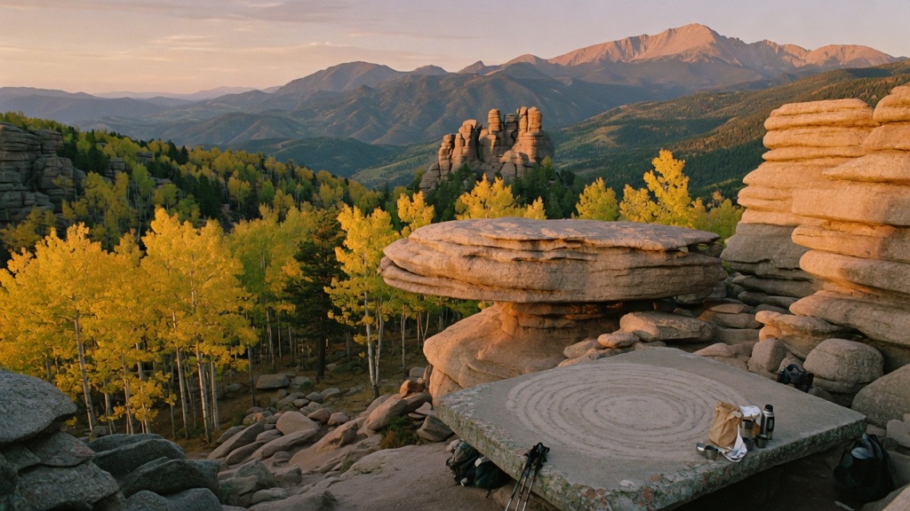
Everyone at this trailhead is going to Horsethief Falls — the easy mile-and-a-bit to a waterfall. Almost nobody keeps climbing. Bear right and you trade the crowd for switchbacks through pine and shimmering aspen, past meadow views of jagged Sentinel Rock, until the forest opens onto Pancake Rocks: enormous slabs of weathered granite stacked like a giant's short stack, perched at the edge of a drop with the whole Pikes Peak country rolling out below. It's a genuinely strange geological payoff that you earn — steeper and longer than the falls, which is exactly why it stays quiet while the waterfall fills up.
→ Three more weird outdoor & roadside oddities in Colorado Springs — never the same twice
The story
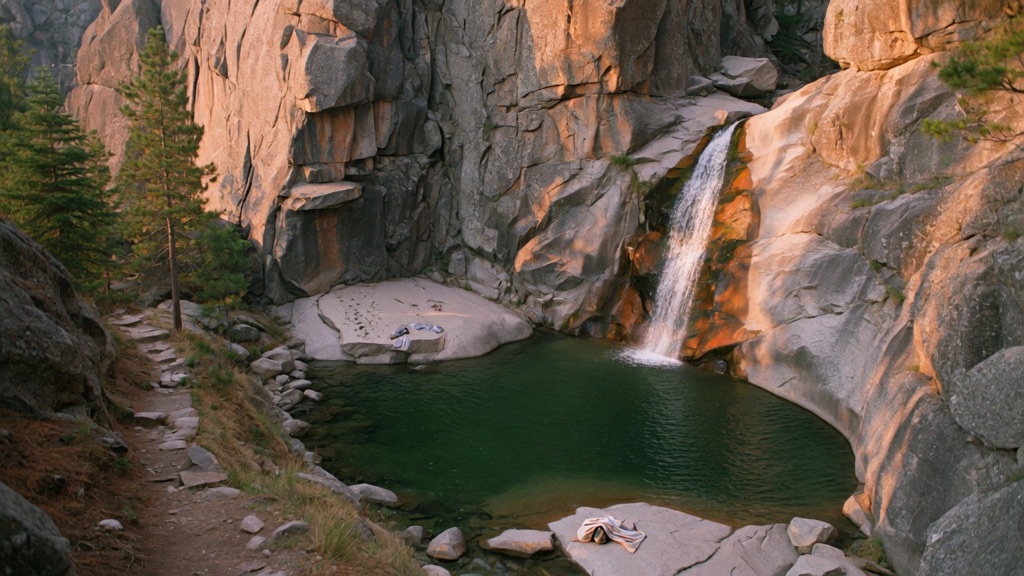
The turnout off Highway 67 looks like a decoy. Most drivers pull into the gravel shoulder beside the old closed railroad tunnel, lace up their boots, and take the easy, mile-long trail straight to Horsethief Falls. They take a picture of the cascade and head back to their cars, completely oblivious to what is sitting a thousand vertical feet directly above their heads.
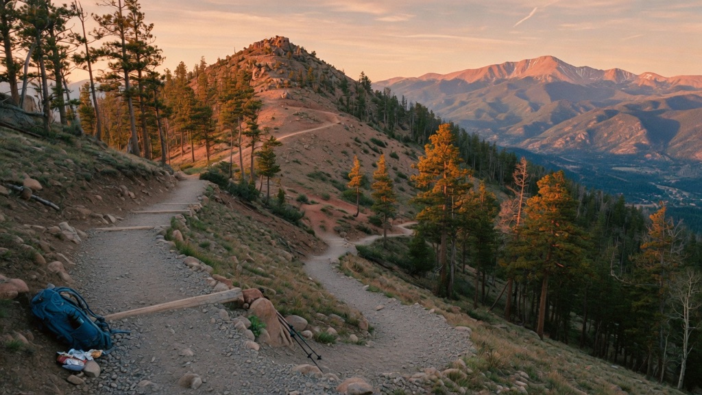
When you reach the early trail fork, bear right instead of dropping down toward the water. The casual crowd vanishes instantly, replaced by a steady, uncompromising climb through switchbacks of lodgepole pine and shimmering aspens. As you grind past 11,000 feet, the trees peel back to reveal sweeping views of jagged Sentinel Rock and the rolling backcountry west of Pikes Peak.
The summit isn't a traditional peak; it's a bizarre geological short stack. Over millions of years, the billion-year-old Pikes Peak granite weathered along horizontal fracture lines and frost-wedge joints, breaking into massive, flat-topped slabs. Stacked one on top of the other right at the edge of a sheer drop, they look less like natural erosion and more like something deliberately carved and stacked by a giant with a heavy hand.
What it's like
Expect a front-loaded workout that hits your lungs immediately, pushing up a steep 16-to-17 percent grade for the first mile and a half. The thin air near 11,050 feet will punish anyone fresh off a sea-level flight, so save this climb until you've spent a couple of days acclimating. Once past the waterfall turnoff, the trail settles into quiet, needle-dusted dirt paths that turn brilliant gold when the aspens peak in late September. At the top, there are no guardrails or viewing platforms—you simply walk out onto the wide, flat granite slabs overlooking the valley. Come self-sufficient: there are no bathrooms, no water taps, and no cell service out here, and you'll want to be off the exposed ridge before afternoon lightning starts building over the peak.
The move: Make the climb itself the date. Split one trailhead, skip the waterfall everyone stops at, and grind the extra miles up through the aspens together — Sentinel Rock keeps you company on the way. Top out, find a flat pancake slab to sit on, and split whatever you hauled up in your pack while the valley drops away beneath your feet. Time it for late September and the aspens turn the whole climb gold.
📍 Before you go A roughly 6-mile out-and-back (sources range 5.9–6.3 mi round trip) climbing about 1,200–1,700 ft to stacked granite "pancake" formations near 11,050 ft. Rated moderate-to-difficult: most of the grunt-work climbing is front-loaded, and you'll feel the thin air if you're not acclimated — don't make it your day-one Colorado hike. It's free, no permit or fee, on Pike National Forest land; there are no bathrooms, no water, and no reliable cell service, so come self-sufficient. Best late spring through fall, with golden aspens peaking late September into early October. Snow lingers into spring and returns by late fall — winter trips need microspikes or snowshoes. The high country brews fast afternoon thunderstorms; start early and be off the exposed top before they build. Hwy 67 is a maintained paved road. You share the trailhead with Horsethief Falls — bear right/uphill at the junction for Pancake Rocks rather than dropping to the falls.
- 📍 Divide / Pikes Peak region (Pike National Forest)
- 💸 Free
- ⚡ Up for anything
- 🌗 Outdoors
Where: Horsethief Park / Horsethief Falls trailhead — a gravel turnout on the east side of Hwy 67, beside an old closed railroad tunnel, roughly 9 miles south of Divide. From Colorado Springs: west on US-24 to Divide (~25 mi), left/south onto CO-67 toward Cripple Creek, ~9 mi to the unmarked tunnel pullout on your left. No sign says "Pancake Rocks" — watch for the big turnout and the tunnel.
Hours: Day-use, free. Best season: Late spring through fall; aspen gold late September–early October. Confirm trail & road conditions before you go.
⚠ Seasonal or scheduled — always check before you go.
Pair it with
- Horsethief Falls Trail — Since you share the exact same Highway 67 trailhead, tack on this easy lower trail on your way down if your legs have another mile left in them.
- Cripple Creek Wild Donkey Herd — Drive six miles south down Highway 67 after your hike to trade high-alpine granite for the historic streets of Cripple Creek and its free-roaming burro herd.
- Mueller State Park Star Party — Located less than four miles north back toward Divide, Mueller's high-altitude clearings make an ideal night sky follow-up after an afternoon above 11,000 feet.
- Petrified Forest Loop at Florissant Fossil Beds National Monument — Head ten miles northwest to swap Pancake Rocks' billion-year-old granite for 35-million-year-old petrified redwood stumps.
More weird in Colorado Springs
Good to know
Where do I park and how do I find the trailhead?
Park at the Horsethief Park trailhead, an unmarked gravel turnout on the east side of Highway 67 roughly 9 miles south of Divide, right next to an old closed railroad tunnel. There is no highway sign for Pancake Rocks—just pull in at the tunnel, start up the main trail, and bear right at the fork.
How long and difficult is the hike?
It is a 6-mile round trip out-and-back trail with roughly 1,200 to 1,700 feet of elevation gain, topping out around 11,050 feet. It is rated moderate-to-difficult because much of the steep climbing is packed into the beginning of the hike.
Are there any fees, permits, or facilities?
No. The trail is free to access on Pike National Forest land with no permits required. However, there are zero facilities—no restrooms, no trash cans, and no drinking water.
When is the best time to go?
Late spring through autumn offer the best conditions, with late September to early October delivering peak golden aspen color. Deep snow and ice linger into spring and return by late fall, requiring microspikes or snowshoes during winter months.
Plan a visit & invite your people →
Further reading: Official site · hikingproject.com · littlebluebackpack.com · visitcos.com
last checked: 2026-06-10