Entry No. 46 — the Colorado Springs file — filed under: outdoor
Horsethief Falls Trail
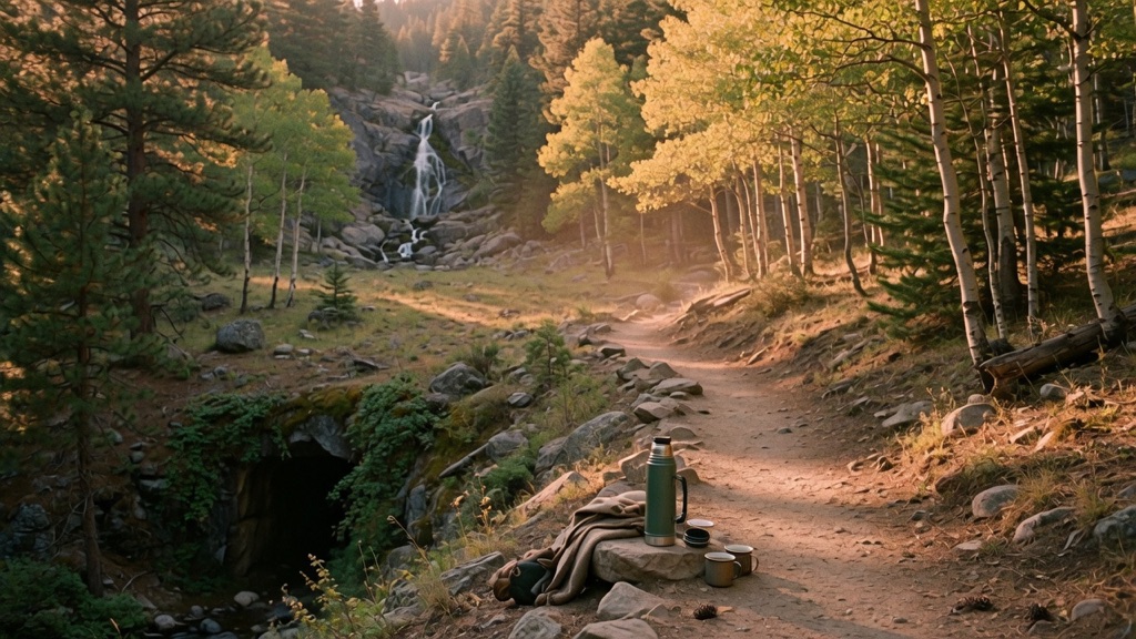
Almost everyone driving Hwy 67 toward the Cripple Creek casinos blows right past the old railroad tunnel that marks this trailhead. Their loss. A wide, forest-shaded path climbs steadily up into Horsethief Park, a quiet aspen-and-pine valley the maps mostly ignore, and delivers you to a slim cascade tumbling over granite. It is shorter and far less mobbed than the Pikes Peak-area falls everyone Instagrams, and the valley carries Old West lore: long told as a hideout for rustlers and horse thieves, with Butch Cassidy among the names that drift up. A real payoff with a story attached, minus the crowd.
→ Three more weird outdoor & roadside oddities in Colorado Springs — never the same twice
The story
Most drivers speeding down Highway 67 toward the Cripple Creek casinos blow right past the small pullout tucked around a sharp bend past a sealed railroad tunnel. That tunnel once carried narrow-gauge trains through granite; today, it marks an unheralded gateway into Horsethief Park—a high-elevation valley of aspens and lodgepole pines hidden on the quiet western slope of Pikes Peak.
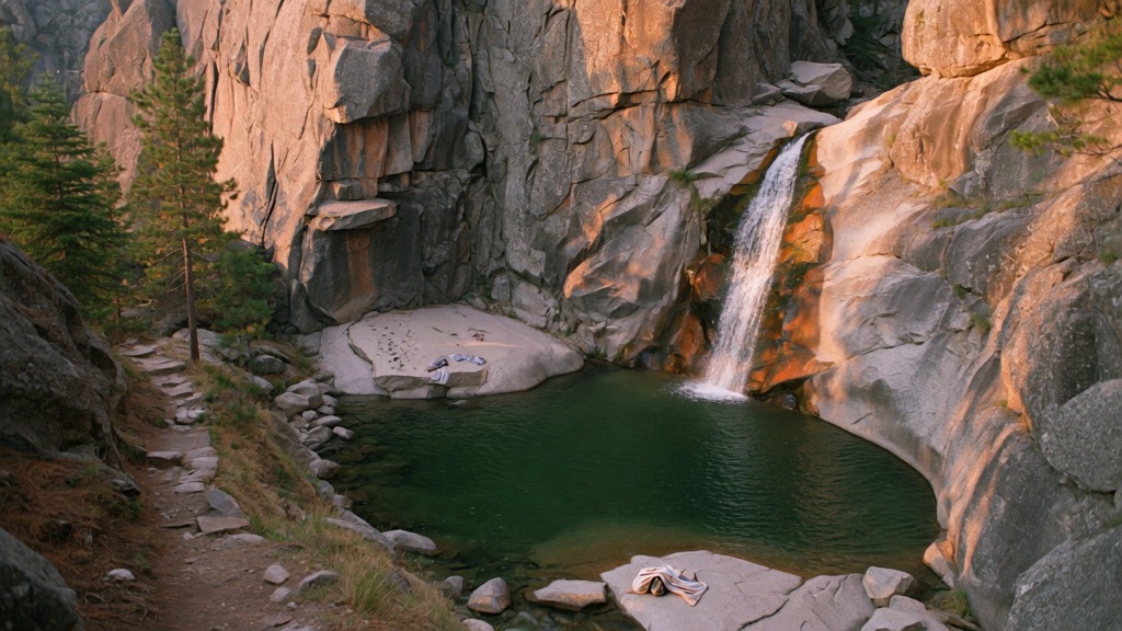
Local lore holds that 19th-century cattle rustlers and horse thieves used this secluded gulch as a natural pen to stash stolen livestock away from lawmen. While historians treat Butch Cassidy's alleged connection to the valley as colorful local legend rather than documented fact, walking into the quiet amphitheater makes it easy to see why outlaws would pick it. The trail follows an old wagon route along an Oil Creek tributary before bringing you to a slim cascade tumbling over smooth granite slabs—far removed from the crowded, fee-charging waterfalls on the mountain's front face.
What it's like
You will park in a narrow pullout directly off Highway 67 just south of the old railroad tunnel—if you reach Cripple Creek, you went too far, and if you show up late on a weekend morning, you will be hunting for shoulder space. The walk starts near 9,500 feet of elevation, meaning the modest 600-to-750-foot climb will make you catch your breath early. You'll follow a wide, shaded trail past beaver ponds before reaching a fork where Pancake Rocks splits off to the right; stay straight on Horsethief Falls Trail as the path narrows along the creek. Ice lingers around the granite slabs well into spring and returns after the first autumn freeze, so carry microspikes if you hike outside peak summer.
The move: Make the walk itself the date. Drive up together with a thermos and no real agenda, find the unmarked pullout by the tunnel, and take the slow climb into the valley trading the legend back and forth: who hid here, what they were running from. Sit by the falls long enough that it stops feeling like a destination and starts feeling like your spot, then drive down before the light goes.
📍 Before you go About 2.8 miles round trip (roughly 1.4 each way); trail apps list anywhere from 2.6 to 2.9. Elevation gain is around 640 ft by most measures, up to ~750 ft by some. Rated easy by a few sources, but the steady grade starting near 9,500 ft of altitude earns a cautious moderate, especially if you are coming from lower elevation, so pace yourself and bring water. Trailhead: from Colorado Springs take Hwy 24 to Divide, south on Hwy 67 about 8-9 miles to the small pullout just past the old closed railroad tunnel. Best late spring through early fall (roughly May-October), when the forest road and trail are dry; snow lingers and microspikes help near the falls after the first freeze, and afternoon mountain thunderstorms build fast in summer, so start early. National Forest land, generally free with no permit. The history is local legend, not documented fact, so enjoy it as lore. Verify current road and trail conditions before you go.
- 📍 Pike National Forest, between Divide and Cripple Creek (Pikes Peak west side)
- 💸 Free
- ⚡ Up for anything
- 🌗 Outdoors
Where: Horsethief Falls trailhead, Hwy 67. From Colorado Springs take Hwy 24 west through Woodland Park to Divide, then turn south on Hwy 67 and drive roughly 8-9 miles. The pullout parking is on the left, just past an old closed railroad tunnel that the road bends around. The lot is small, so go early.
Hours: Day-use, free. Best season: Late spring through early fall (roughly May-October). Confirm trail & road conditions before you go.
⚠ Seasonal or scheduled — always check before you go.
Pair it with
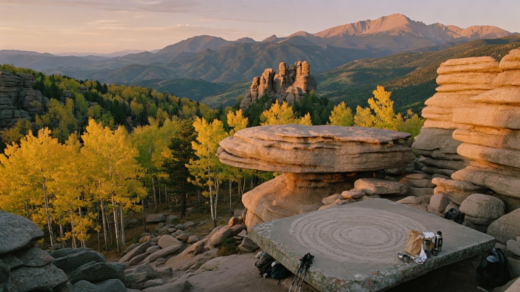
- Pancake Rocks Trail — Because both hikes start at the same trailhead in Horsethief Park, you can bear right at the trail junction to trade the waterfall path for a steeper climb up to strange, flattened sandstone stacks.
- Cripple Creek Wild Donkey Herd — Continue south down Highway 67 past the trail to Cripple Creek, where you can spot the free-roaming feral descendants of 1890s mining burros wandering the street corners.
- Mueller State Park Star Party — Head back north toward Divide to catch organized night-sky viewings beneath the dark timberland canopy of Mueller State Park.
More weird in Colorado Springs
Good to know
How do I find the trailhead from Colorado Springs?
Take Highway 24 west through Woodland Park to Divide, turn south onto Highway 67, and drive roughly 8 to 9 miles. Look for a small pullout on the left side of the road, located just past a closed railroad tunnel.
How difficult is the hike to Horsethief Falls?
The hike is roughly 2.8 miles round trip with an elevation gain between 640 and 750 feet. While the grade is relatively steady, starting at 9,500 feet above sea level earns it a moderate effort rating, particularly if you are unacclimated to the altitude.
Is there an entry fee or permit required?
No, the trail is located on public Pike National Forest land and is free to visit with no permits required for day use.
Are dogs allowed on the trail?
Yes, dogs are permitted on the Horsethief Falls Trail but should be kept on a leash.
Plan a visit & invite your people →
Further reading: dayhikesneardenver.com · hikingproject.com · Official site
last checked: 2026-06-10