Entry No. 55 — the Grand Junction file — filed under: rock-art
Cañon Pintado National Historic District
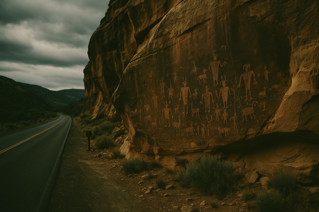
Spanish missionaries named this canyon 'Painted Canyon' in 1776 after stumbling onto sandstone walls covered in Fremont and Ute figures — images that had already been accumulating for roughly a thousand years before the expedition passed through. Today, fifteen miles of Hwy 139 south of Rangely run alongside those same panels: 200-plus sites, free to visit, marked only by small BLM pullout signs that most drivers blow past without slowing. You can cover the whole corridor in a few hours without seeing another car, which feels genuinely strange for rock art this dense and this old.
→ Three more haunted places & dark-history spots in Grand Junction — never the same twice
The story
In 1776, a pair of Spanish friars named Domínguez and Escalante rode through this canyon, looked up at the sandstone, and called it Cañon Pintado—the Painted Canyon. They weren't discovering anything new. Fremont and Ute artists had already spent roughly a thousand years etching and painting figures into these rock faces before the expedition ever set foot here.
What makes this stretch of canyon genuinely strange isn't just the age of the art, but how completely unceremonious the experience is. Over 200 documented sites sit scattered along a 15-mile stretch of Highway 139 south of Rangely, including major panels like East Fourmile Draw. There are no visitor centers, turnstiles, or guides hanging around to give you a lecture—just small, quiet Bureau of Land Management markers on public land where ancient history sits right next to two-lane asphalt.
What it's like
Drive south out of Rangely on Highway 139 and keep your eyes peeled for the unobtrusive brown BLM pullout signs on the shoulder. You don't need four-wheel drive or heavy boots; the road is paved the entire length, and the ground at most turnouts is simple flat dirt or gravel. Pull off, cut the engine, and step out into the scrub. You can hit every major roadside panel in a few hours, and there's a good chance you won't pass a single other car while you're standing inches away from thousand-year-old rock art.
The move: Drive Hwy 139 south from Rangely and work the pullouts one by one, getting out at each BLM marker to read the panels up close before moving to the next.
📍 Before you go All pullouts are roadside on Hwy 139 — no trailhead fees, no gates. Terrain at most sites is flat dirt or gravel from the shoulder. A high-clearance vehicle is not required. The road is paved the full length of the corridor.
- 📍 Rangely
- 💸 Free
- ⚡ Up for anything
- 🌗 Outdoors
Where: Highway 139, Rangely, CO 81648
Hours: Added 2026-06-21 — confirm current hours before you go.
Pair it with
- Highline Lake State Park - After-Dark Paddle & Stargazing — After spending the afternoon scanning sandstone walls on Highway 139, head south toward Loma to get out on quiet desert waters under the stars.
- Old Black Diamond Mine — Pair ancient Fremont rock carvings with a look into late-19th-century resource extraction in the nearby Book Cliffs.
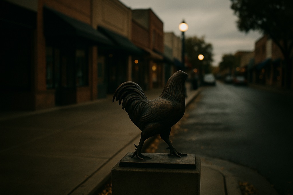
- Mike the Headless Chicken Sculpture — Balance out a thousand years of high-desert sacred rock art with Fruita's monument to a headless 1940s rooster.
More weird in Grand Junction
Good to know
Is there an entrance fee or gate to access the sites?
No. The entire district sits on public BLM land alongside the highway, meaning access is free, ungated, and open standard public-land hours.
Do I need a high-clearance or 4WD vehicle to reach the panels?
No. Highway 139 is paved the full length of the corridor, and the roadside pullout areas consist of flat dirt or gravel right off the paved shoulder.
What is the largest rock art site in the district?
East Fourmile Draw holds the largest collection of rock art panels within the Cañon Pintado National Historic District.
How long does it take to see the corridor?
Plan on spending two to three hours driving the 15-mile highway stretch, stopping at each BLM pullout sign to walk up to the panels on foot.
Plan a visit & invite your people →
Further reading: Wikipedia · uncovercolorado.com · recreation.gov · gjhikes.com
last checked: 2026-06-21