Entry No. 70 — the Coeur d'Alene file — filed under: history
Commonwealth Mine
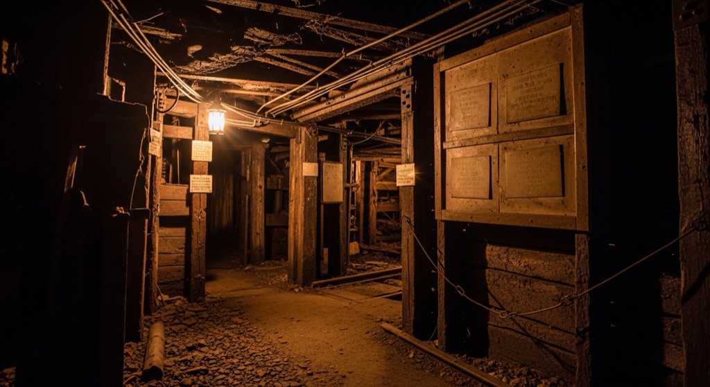
Discovered in 1892, the Commonwealth Mine was an underground copper, silver, and gold operation in the Hayden Lake Mining District. It featured a 300-foot-deep vertical shaft and multiple tunnels, and was historically served by the Ohio Match Company logging railway in the 1920s. Today, the site is completely abandoned and sits quietly within the Coeur d'Alene National Forest.
→ Three more abandoned & forgotten places in Coeur d'Alene — never the same twice
The story
Prospectors first staked claims in the Hayden Lake Mining District in 1892, uncovering veins of copper, silver, and gold roughly 2,500 feet up in the mountains of Kootenai County. Over the following decades, miners carved out a complex underground network consisting of a 300-foot vertical shaft and up to a dozen interconnecting tunnels that extended hundreds of feet into the bedrock. Outfits like Commonwealth Silver Co. and later Nighthawk Silver-Lead Mining Co. periodically reworked the ground, blasting into quartz veins before operations finally ground to a halt.
The remote operation relied heavily on an unlikely partner: the Ohio Match Company logging railway. In the 1920s, Ohio Match built a rail network through the heavily forested Hayden Creek drainage to harvest timber for matchsticks. That same steel track provided the mine with vital transport, allowing crews to haul heavy equipment up the valley and send raw mineral loads back down toward smelters.
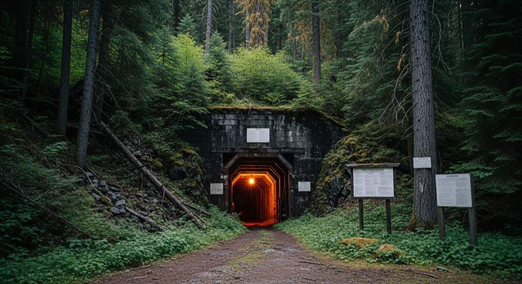
Today, the heavy machinery is gone and the railway tracks have long been removed. swallowed by the Coeur d'Alene National Forest, the site sits quietly beneath a thick canopy of cedar and pine, marked primarily by faded forest grades, tailing piles, and cut-banks from a vanished industrial era.
What it's like
Finding the site involves navigating forest service roads along the Hayden Creek drainage in the Coeur d'Alene National Forest. There are no signs, maps, or maintained footpaths directing you to the mine. The experience is purely off-grid bushwhacking, where you'll need a keen eye to spot old railroad grades hidden beneath forest detritus. A critical warning: abandoned underground workings and 300-foot vertical drops are unmaintained, structurally unstable, and highly hazardous. Keep your search strictly to public surface terrain, wear sturdy footwear, and don't expect cell service.
The move: Hike along the historic Ohio Match Road or nearby forest service trails to explore the scenic, heavily forested area of Hayden Creek, keeping an eye out for old railway grades and taking photos of the rugged mountain landscape.
📍 Before you go While the mine is located on public land within the Coeur d'Alene National Forest, the exact trail access, safety of the terrain, and presence of visible surface ruins are unverified.
- 📍 Commonwealth Mine
- 💸 Free
- ⚡ Low-key
- 🌗 Outdoors
Where: Commonwealth Mine, Idaho 83835, USA
Hours: Added 2026-07-20 — confirm current access before you go.
Pair it with
- Bellville Mine — Double down on abandoned North Idaho mining history by heading north to explore the surface environs of Bonner County's Lakeview Mining District.
- Bird Aviation Museum & Invention Center — Trade overgrown, off-grid forest industrial ruins for an indoor look at vintage aircraft and medical inventions down in Hayden.
- Coeur d'Alene Astronomy Club star parties (Farragut State Park) — Swap the darkness of abandoned underground mine shafts for deep-sky telescope viewing at Farragut State Park.
More weird in Coeur d'Alene
Good to know
Where is the Commonwealth Mine located?
It sits on public land within the Coeur d'Alene National Forest in Kootenai County, Idaho, northeast of Hayden Lake at an elevation of roughly 2,500 feet.
Is it safe to go inside the mine tunnels or shaft?
No. The underground workings are abandoned, unmaintained, and dangerous—including a historical 300-foot vertical shaft. Underground entry is strictly unsafe; stick to surface exploration on public lands.
What minerals were mined at Commonwealth Mine?
Primary extractions included copper, silver, and gold, alongside secondary traces of lead and zinc.
What was the connection to the Ohio Match Company?
In the 1920s, the Ohio Match Company operated a timber railway along Hayden Creek, which historically provided railroad infrastructure that served nearby mining prospects.
Plan a visit & invite your people →
Further reading: Wikipedia · anyplaceamerica.com · westernmininghistory.com
last checked: 2026-07-20