Entry No. 12 — the Coeur d'Alene file — filed under: history
Pulaski Tunnel Trail
This two-mile-each-way trail follows Placer Creek to the abandoned mine adit where ranger 'Big Ed' Pulaski herded 45 firefighters during the catastrophic 1910 'Big Blowup' that burned three million acres. Trapped by walls of flame, he forced his crew face-down in the tunnel at gunpoint, saving all but six. Interpretive signs and bridges line the route, ending at an overlook across the creek from the actual tunnel mouth.
→ Three more abandoned & forgotten places in Coeur d'Alene — never the same twice
The story
On August 20, 1910, hurricane-force winds transformed hundreds of small bushfires across North Idaho into a three-million-acre firestorm known as the 'Big Blowup.' Trapped on Striped Peak with a crew of 45 firefighters, Forest Service ranger Edward 'Big Ed' Pulaski realized they had zero chance of outrunning the flames. He remembered the abandoned Nicholson mine adit sitting along the West Fork of Placer Creek—a dark hole drilled into the rock—and ordered his exhausted men inside.
As walls of fire consumed the mountain and burned the timbers framing the entrance, smoke flooded the shaft. Pulaski commanded the crew to lie face-down in the mud to breathe what little cool air remained near the floor, while he stood near the entrance throwing water on the timber supports to keep them from collapsing. When panic broke out and a terrified firefighter tried to break for the exit, Pulaski drew his revolver and threatened to shoot the next man who tried to leave. They endured five hours trapped in the suffocating darkness.
Five men suffocated inside the tunnel and a sixth died shortly after, but 39 survived what remains the largest wildfire in American memory. Over the decades, brush swallowed the trail and the mine mouth was forgotten until Forest Service archaeologist Carl Ritchie relocated the adit in 1979. Today, the route is listed on the National Register of Historic Places, leading you directly to the overlook across the creek from where Pulaski drew his gun to save his crew.
What it's like
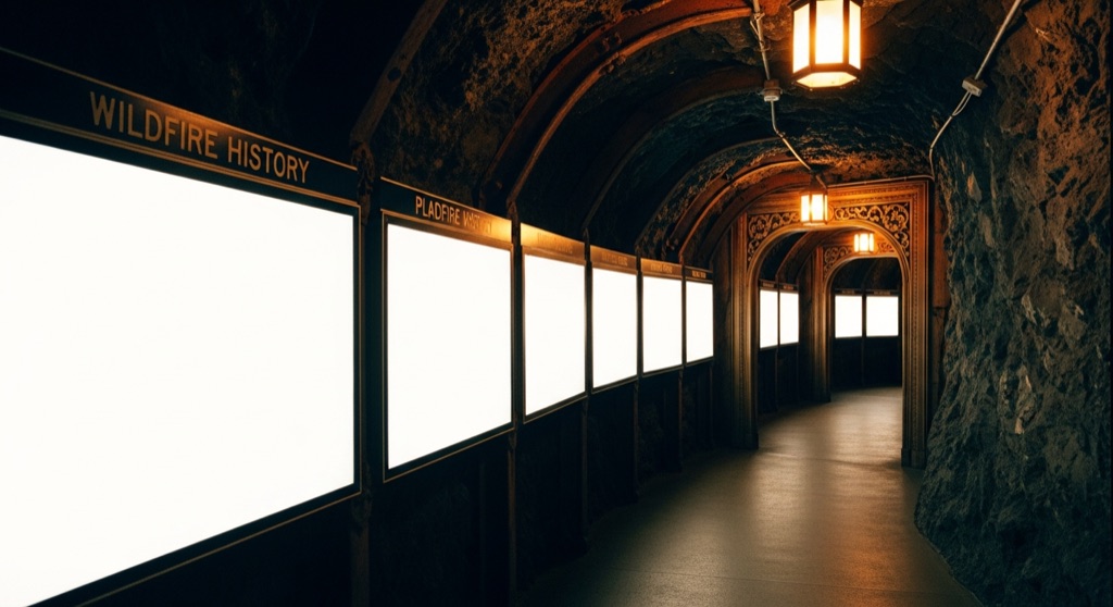
You'll start at the trailhead on Moon Pass Road, roughly a mile south of downtown Wallace along Placer Creek. The first 725 feet of trail are paved, but it quickly shifts into a two-mile dirt climb gaining about 800 feet through thick forest. Twelve interpretive panels line the creek, detailing the panic and timeline of the 1910 blaze. The catch: you can't walk into the mine shaft itself. The trail ends at an overlook deck directly across the cascading creek from the timbered, sealed tunnel mouth. Bring bear spray—moose and other wildlife frequent the creek corridor—and budget 2 to 4 hours for the four-mile round trip.
The move: Hike the creekside trail reading the wildfire history panels, then stand at the overlook facing the tunnel where a crew survived the largest fire in American memory.
📍 Before you go Roughly 4 miles round trip, 2-4 hours; the tunnel itself is viewed from an overlook across the creek, not entered. Best in snow-free months.
- 📍 Wallace
- 💸 Free
- ⚡ Up for anything
- 🌗 Outdoors
Where: Moon Pass Rd / King St trailhead, Wallace, ID 83873
Hours: Added 2026-06-24 — confirm current hours before you go.
Pair it with
- Sierra Silver Mine Tour — After looking across Placer Creek at Pulaski's sealed adit, strap on a hard hat in downtown Wallace to go inside a real underground silver mine with a retired miner.
- Oasis Bordello Museum — Trade the wilderness survival history along Placer Creek for Wallace's downtown vice history, where a brothel sits preserved exactly as the madam left it in 1988.
- North Idaho Trading Co. — Follow up a trek into forest fire history with a walk through a maze packed with 150+ taxidermy pieces and antiques in historic Wallace.
- Center of the Universe, Wallace — Pair the site of North Idaho's most famous wilderness standoff with a stop at the painted downtown intersection where the mayor declared Wallace the center of the universe.
More weird in Coeur d'Alene



Good to know
Can you actually go inside the Pulaski Tunnel?
No. You view the restored timber mouth of the tunnel from an observation deck across Placer Creek. The mine entrance itself is sealed for safety.
How long and difficult is the hike?
It is roughly 4 miles round trip with an 800-foot elevation gain, taking 2 to 4 hours. The first 725 feet are paved, while the rest is a dirt trail.
When is the trail accessible?
The trail is best hiked during snow-free months, typically late spring through autumn, as winter conditions make access and trail navigation difficult.
Where is the trailhead located?
The trailhead is located on Moon Pass Road (Forest Service Road 456 / King Street), about one mile south of downtown Wallace, Idaho.
Plan a visit & invite your people →
Further reading: fs.usda.gov · Wikipedia · Atlas Obscura · Official site
last checked: 2026-06-24